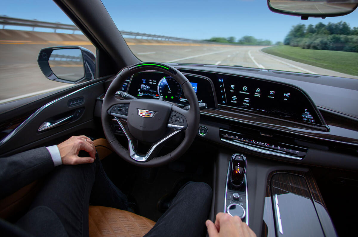
One of the most intriguing automotive announcements at this January's Consumer Electronics Show (CES) lacked any of the usual fanfare, instead being buried in a Volvo/Polestar press release: Google is getting into the high-definition maps business with a new company called Geo Automotive.
A single quote from the division head, Jorgen Behrens, summed up in the release what this potentially game changing new company will do: “Google’s new HD map is designed specifically for auto makers and provides comprehensive lane-level and localisation data that is crucial to powering the next generation of assisted and autonomous driving systems.”
The maps will inform the new Volvo EX90 and related Polestar 3 electric SUVs, ultimately helping them drive autonomously for limited periods. Google will also expand its HD mapping knowledge using data extracted from the two new models, potentially adding more across the industry.
“We see this as more of an ecosystem, and we hope they sign other car makers. The more join, the better quality the maps will be,” Martin Kristensson, head of product definition and partner management at Volvo, told Autocar.
Cars already use on-board standard-definition maps to aid assisted driving. Models equipped with the Volkswagen Group’s Travel Assist system can automatically slow the car ahead of a tight bend, for instance. But HD maps are much more precise, locating the car to within centimetres rather than metres and presenting it with an entire 3D picture of its surroundings to help it make better decisions.
It's a crucial enabler to hands-free driving, at least according to the map companies.
“The map is probably the most important sensor in the car. Everything feeds into that,” Edzard Overbeek, CEO of Dutch mapping giant Here Technologies, told Autocar. “A map looks around the corners. In automating driving, the car becomes aware of the situation and looks through buildings and round the next bend.”
Add your comment